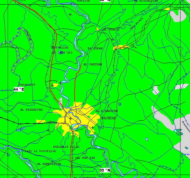


The south and south-east sectors of this site were visited by the Special Group on 26 March. This was followed by a visit to the north sector on 27 March. During the course of the visits the Iraqi authorities were observed by the senior diplomats to raise national security concerns in respect of (a) general aerial photography from the helicopter that was used as distinct from photography of specific situations; and (b) the use of global positioning system (GPS) instrumentation. Following negotiations conducted on site, the rights of UNSCOM to general aerial photography embodied in relevant Security Council resolutions (e.g. resolution 707 (1991)) were emphasized by the Head of the Team of Experts and the Iraqi authorities finally agreed, on an ad hoc basis, that this could take place for a reasonable amount of time. With regard to the use of GPS instrumentation, a compromise agreement was reached, again on an ad hoc basis, in deference to Iraqi concerns and in a spirit of cooperation. This would apply to initial visits to presidential sites and would not be regarded as a precedent for future visits since UNSCOM asserts its rights to use GPS instrumentation as standard equipment. National security concerns were also raised in respect of drawings and sketches of buildings, which UNSCOM required as part of its "baseline survey". This matter was also resolved satisfactorily.
Soil sampling and the use of other equipment was conducted by the experts without difficulty. The helicopter was able to complete obtaining all the imagery it required. With regard to the baseline survey conducted by the experts, discrepancies were found between the survey conducted earlier and the ground realities and after some discussion these were resolved satisfactorily. The helicopter used by UNSCOM was able to land within the Radwaniyah Presidential Site so that the senior diplomat in the helicopter, Ambassador Antonio Monteiro of Portugal, could have consultations with the Head of the Special Group, who was also provided with the opportunity to observe the site from the air.

