Index | Search |


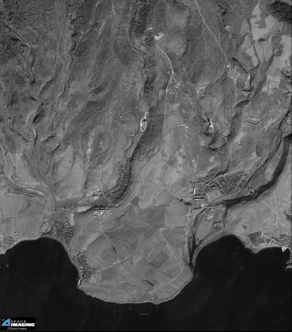
It is equally evident that the various built-up areas surrounding the missile test facility have no functional association with this facility. There is a complete absence of residential structures that might be associated with missile test staff, as well as a complete absence of larger structures that might provide "industrial" or other operational support. While the casual use of proximate agricultural dwellings or other structures by missile test staff or operations cannot be excluded, there are no identifiable functionally related modifications in the surrounding communities indicative of such use.
This one-meter resolution black-and-white image of Tae Po Dong, North Korea
was collected November 1, 1999 by Space Imaging's IKONOS satellite. The
image features the Tae Po Dong missile facility.
Credit: "spaceimaging.com."

