



Guangzhou East Airfield
23�09'N 113�22'E
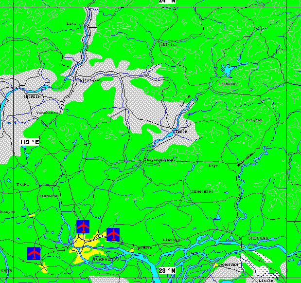
This airfield, which is located to the east of the city of Guangzhou, is probably a dual use airfield, supporting both military and civil operations.
Photographic Evaluation Report
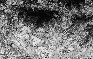
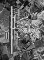
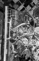
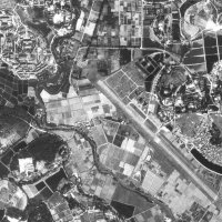
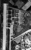
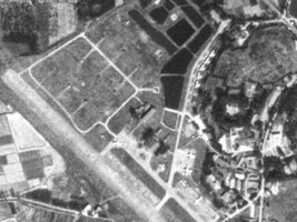
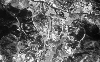
High resolution imagery is available from three sources. Declassified CORONA imagery includes coverage from 10 February 1969. Commercially available Russian 2-meter resolution KVR-1000 imagery is available via the SPIN-2 service on TerraServer.
As of 01 May 2000 archival Space Imaging IKONOS 1-meter imagery available on the CARTERRA� Archive includes at least 28 scenes of the general Guangzhou area, acquired between 03 February 2000 and 04 April 2000. Of these scenes, however, 25 have heavy cloud cover in excess of the standard 20% threshold. There is evidently no coverage of Guangzhou East Airfield.
|
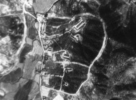
31 July 1970 - CORONA
|
1989 - SPIN-2
Imagery from TerraServer.com Copyright
Aerial Images, Inc. and SOVINFORMSPUTNIK. Distribution and publishing
in any form requires permission from Aerial Images, Inc.
|
|
|
|
|

Sources and Resources
http://www.fas.org/nuke/guide/china/facility/guangzhou-east.htm
Maintained by Robert Sherman
Originally created by John Pike
Updated Friday, May 12, 2000 12:00:01 AM


